


When we start planning a trip, the first thing we do is open Google Maps and start saving places: the café someone recommended, the viewpoint for sunset, the cove you need to get to early or the restaurant you have to book. Over the years, those lists have become one of the tools we use most when we travel, and that's why we share them as maps by destination.
In this post we explain what Google Maps lists are, how to use them on your phone (saving them, viewing them offline and following them), why they save you so much time and what each of our 14 maps includes.
What is a Google Maps list?
A Google Maps list is a collection of places saved inside the app itself. Each spot shows up as a pin on the map, with its Google listing: address, hours, photos, reviews, phone number and the button to get directions. You can create your own lists, but you can also open and follow lists someone else shares.
The difference from a list of recommendations on a blog is that you don't have to copy names or look them up one by one. You open the link and every spot is already placed on the map, so at a glance you can see what's nearby, how plans are spread across neighborhoods or areas, and what makes sense to group into the same day.
Our maps are exactly that: the places we recommend in each destination, saved and organized by category (restaurants and cafés, hotels and charming places to stay, places to visit and viewpoints, local shops, activities and, depending on the destination, beaches, surf spots or day trips). When you buy one, you get a PDF by email with the links and instructions for opening it.
How to use a Google Maps list on your phone
1. Open the link and follow the list
Open the list link on your phone with the Google Maps app installed (it's free) and signed in to your Google account. The list will open with all its places. Tap Follow and the list will be saved to your account, so you won't have to hunt for the link again.
2. Find your lists whenever you need them
The lists you follow show up in the You tab (or Saved, depending on your app version), under lists. From there you can open any list and see all its pins on the map. Tap a place to open its listing with hours, photos and the directions button.
3. Download the area to use it offline
If you're going somewhere with bad coverage or no data (an island, the mountains, a country outside the EU), download the trip area beforehand: tap your profile picture, go to Offline maps, choose Select your own map, adjust the box to the area you'll be exploring and tap Download. With the map downloaded you can get around and get driving directions offline. To see each place's full listing (photos, reviews, updated hours) you will need data, so our tip is to open the list on Wi-Fi before heading out.
4. Use it to plan your day
Before heading out, open the list and see what's near the place you're most excited to see. That way you can fit the visit, the coffee and lunch into the same morning, and you won't cross the city or the island twice. If you're traveling with someone, share the list with them so you both have the same places on your phones.
Why a Google Maps list saves you time
- You don't look up places one by one: they're already saved, with the exact location.
- You see the layout of your trip: at a glance you know what's near what and can group plans by area.
- You check hours on the spot: the Google listing tells you whether a place is open before you go.
- You get there without getting lost: from the pin you go straight to navigation, on foot, by car or on public transit.
- You improvise wisely: if it rains, if somewhere is full or if you have a free afternoon, you open the map and see alternatives we've already vetted.
Our Google Maps by destination
These are the 14 destinations we have on Google Maps. Each map is a one-time payment: you buy it and it's yours, and we keep updating it with new places. For almost every destination we also have the full PDF guide, with itineraries, practical info and our recommendations explained.
Bali
More than 200 places saved across west Bali: Uluwatu, Canggu and Ubud. It includes beaches and surf spots, restaurants and cafés, hotels and charming places to stay, viewpoints, local shops and activities. See the Bali map on Google Maps · our Bali PDF travel guide.
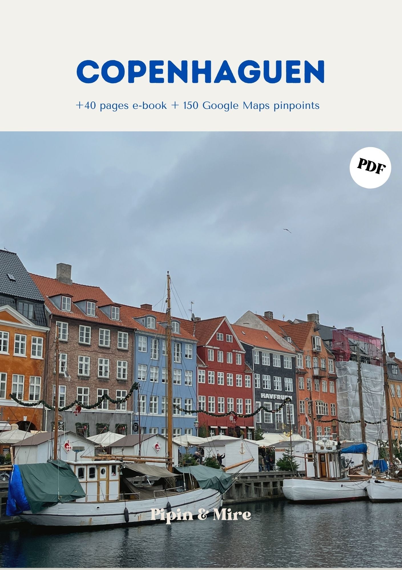
Copenhagen
More than 150 places all over the city, with special attention to cafés and cozy corners. It also has restaurants, hotels, places to visit, local shops and activities. See the Copenhagen map on Google Maps · our Copenhagen PDF travel guide.
Paris
More than 200 places all over Paris: restaurants and cafés, hotels and charming places to stay, places to visit and viewpoints, local shops and activities. If you're deciding where to stay, our post on the best neighborhoods to stay in Paris might help. See the Paris map on Google Maps · our Paris PDF travel guide.
Rome
More than 150 places saved all over Rome: trattorias, cafés, piazzas, viewpoints, hotels, local shops and activities. See the Rome map on Google Maps · our Rome PDF travel guide.
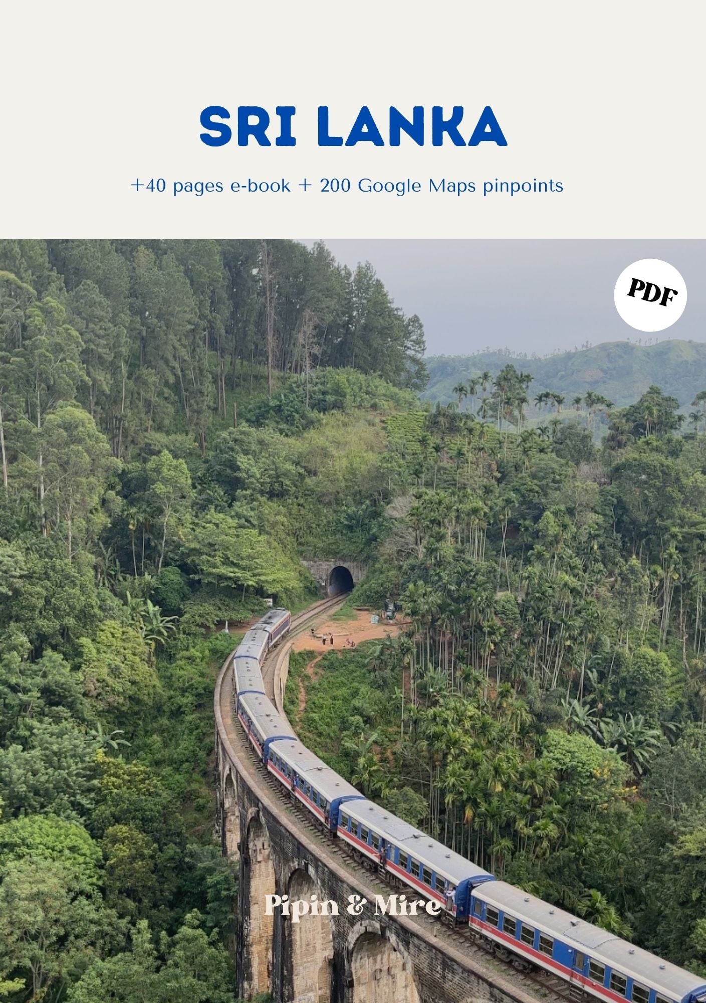
Sri Lanka
More than 200 places across the country: beaches and surf spots, waterfalls and viewpoints, restaurants and cafés, hotels and unique places to stay, local shops and activities. See the Sri Lanka map on Google Maps · our Sri Lanka PDF travel guide.
London
More than 150 places all over the city: charming cafés, restaurants, hotels, places to visit and viewpoints, local shops and activities. See the London map on Google Maps · our London PDF travel guide.
Madrid
More than 250 places all over Madrid, with the best spots for coffee, places to stay and sightseeing: restaurants and cafés, hotels, places to visit and viewpoints, local shops and activities. See the Madrid map on Google Maps · our Madrid PDF travel guide.
Menorca
More than 150 places across the island: coves and beaches, sunset spots, restaurants and cafés, hotels and charming places to stay, places to visit and activities. To get organized, check out our route through Menorca's most beautiful coves and the 5-day Menorca itinerary. See the Menorca map on Google Maps · our Menorca PDF travel guide.
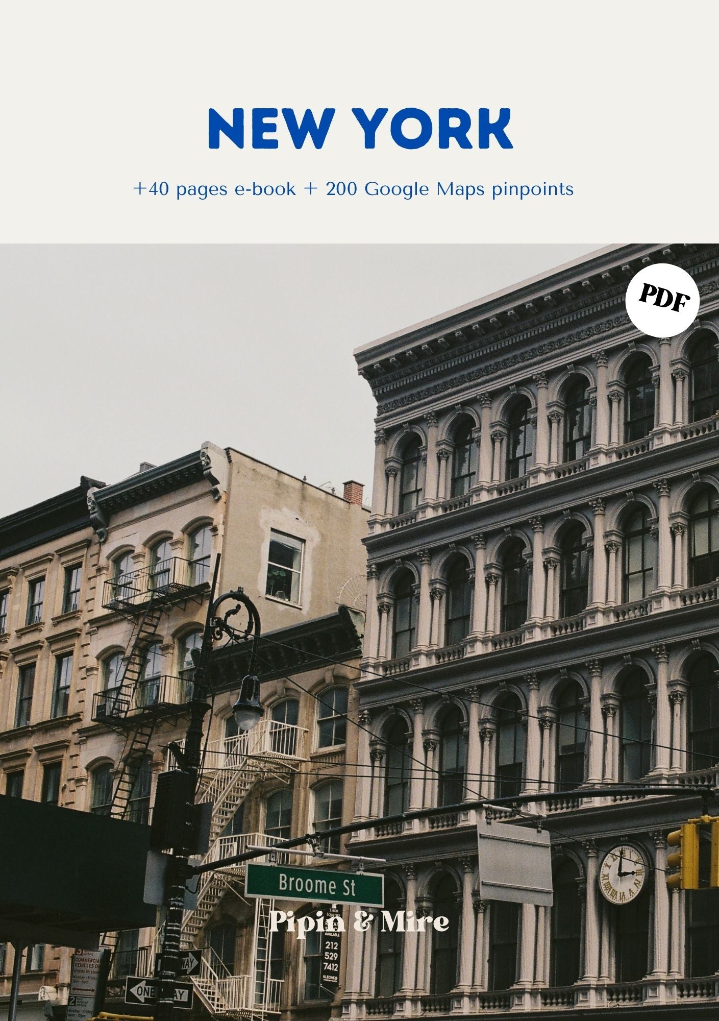
New York
More than 200 places saved all over the city: restaurants and cafés, hotels and places to stay, places to visit and viewpoints, local shops and activities. See the New York map on Google Maps · our New York PDF travel guide.
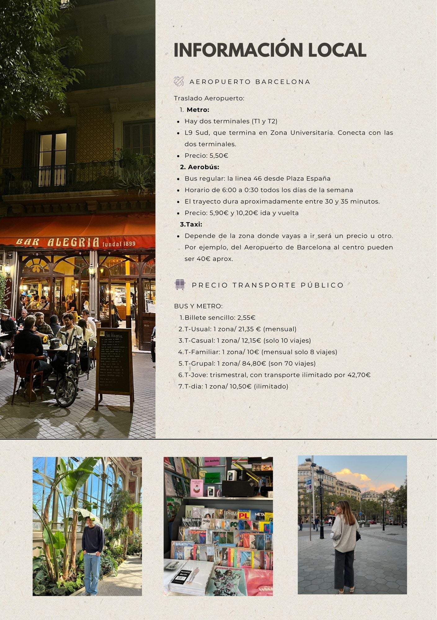
Barcelona
It's our city and the most complete map we have: more than 300 places to discover Barcelona like a local, with restaurants and cafés, hotels, places to visit and viewpoints, local shops and plans, from the most traditional to the most touristy. See the Barcelona map on Google Maps · our Barcelona PDF travel guide. If you're looking for where to eat, check out our pick of bars and restaurants in where to eat in Barcelona.
Thailand
More than 200 places across the country: beaches and surf spots, restaurants and cafés, hotels and unique places to stay, places to visit and viewpoints, local shops and activities. If you want to get off the beaten path, also read how to visit Thailand without doing the typical tourist activities. See the Thailand map on Google Maps · our Thailand PDF travel guide.
Azores
More than 200 places saved: hikes and outings, viewpoints and places to visit, restaurants and cafés, hotels and charming places to stay, and activities. On islands where the weather changes fast, having alternatives on the map really helps. See the Azores map on Google Maps · our Azores PDF travel guide.
Lisbon
More than 200 places all over the city so you can explore it at your own pace: restaurants and cafés, hotels and charming places to stay, places to visit and viewpoints, walks and activities. For Lisbon we only have the map, no PDF guide. See the Lisbon map on Google Maps.
Dolomites
More than 200 places across the Dolomites: hikes, viewpoints and places to visit, restaurants and cafés, places to sleep, hotels and activities. For inspiration, check out our post on what to see in the Dolomites. See the Dolomites map on Google Maps · our Dolomites PDF travel guide.
Map or full guide?
The map isn't a detailed guide: it tells you where our places are and what kind they are, but it doesn't explain each one or plan your trip for you. It's ideal if you've already got your trip half-planned, if you like to improvise or if you just want to know where to eat, grab a drink and what to see nearby.
The PDF guide is what we'd use to plan a trip from scratch: itineraries, practical info (transportation, apps, seasons), our favorite places explained and tips for getting around. And since the guides also include the Google Maps link, you can use both together: read the guide at home and open the map once you're there.
FAQ
Do I need a Google account?
The link is enough to open the list, but to follow it and always have it handy in the app you need to be signed in to your Google account.
Can I use it on my computer?
Yes. The list also opens in your computer's browser, which is really handy for planning at home. While traveling, the phone app is the most practical.
Are the maps updated?
Yes, we keep adding new places as we discover them. Since you follow the list from your account, the changes show up without you doing anything.
What if I have questions?
Email us at hello@pipinandmire.com and we'll help you open it or choose the map that's right for you.